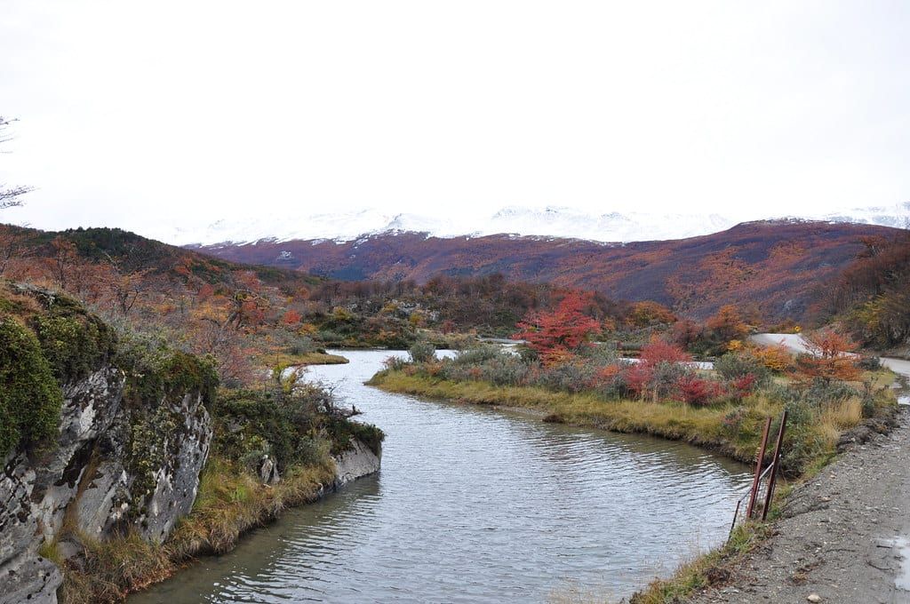
Ushuaia is where more bike expeditions finish than anywhere else on earth. The city of 82,600 — the world's southernmost — sits at the bottom of Tierra del Fuego, the archipelago split roughly in half between Chile (west) and Argentina (east), and National Route 3 dies 12 km west of town at Lapataia Bay. A sign at the bay counts 3,063 km back to Buenos Aires. For Pan-American cyclists that sign is the finish line; for everyone else, the island is 628 km of gravel steppe, shoreline doubletrack, and subpolar lenga forest running down to the Beagle Channel.
This guide covers the four realistic ways to ride the island, the wind strategy that decides which direction you go, the National Park as a cycling destination in its own right, and the ground-truth logistics — borders, resupply gaps, water, camping — that make or break a Tierra del Fuego tour.
Why Tour Tierra del Fuego by Bike
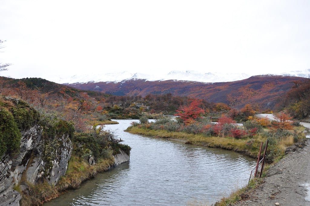
The island rewards riders who like their tours raw. East of Ushuaia the paved Ruta 3 climbs Paso Garibaldi and drops to Lago Fagnano, a lake the Andes shoved into a fault line; beyond it the road runs north across open steppe toward Río Grande. Off the highway there's little traffic and less shade — just wind-scoured pampas, guanaco herds, and the occasional condor riding a thermal. Beavers are everywhere too: introduced for the fur trade, they've dammed half the valleys and turned riparian forests into ponds.
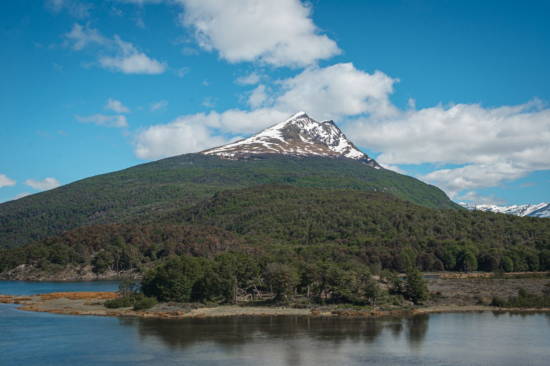
The National Park itself, 68,909 hectares west of Ushuaia, is the only park in Argentina that combines marine coastline with mountains and forest — the southern Andes literally plunge into the Beagle Channel here. That mix is what makes the island a bucket-list ride for self-sufficient tourers: nowhere else can you pedal from a subpolar forest to the end of the Pan-American Highway in one afternoon. The difficulty is real, though. Services are thin, weather is violent, and the riding suits people who can fix a derailleur in a 50 km/h crosswind.
Choosing Your Route: Four Ways to Ride Tierra del Fuego
Most riders pick one of four options, and the wind usually picks the direction. Here's how they compare, then the detail.
| Route | Distance | Surface | Days | Best for |
|---|---|---|---|---|
| Ruta 3 corridor (Ushuaia–Tolhuin–Río Grande) | ~230 km | Paved + some gravel | 3–4 | First-timers, Pan-Am finishers, either direction (wind permitting) |
| Bella Vista gravel crossing (Cameron–Río Grande) | ~110 km Chilean side | Gravel | 2 | Solitude seekers; Nov–Mar only |
| Fin del Mundo route (Punta Arenas–Ushuaia) | 628 km | 93% unpaved | ~10 | Experienced bikepackers; north to south |
| Day rides from Ushuaia | 20–90 km | Singletrack, gravel, road | ½–1 | Riders short on time or on a rest day |
Route A: The Ruta 3 Corridor, Ushuaia to Río Grande
This is the classic: roughly 230 km of Argentina's National Route 3 linking Ushuaia, Tolhuin, and Río Grande, usually split over three or four riding days. A December 2024 tour broke it into stages of 46.4 km (Ushuaia to Paso Garibaldi, the climb), 59.1 km (Garibaldi down to Tolhuin on Lago Fagnano), 61.6 km (Tolhuin to Camping Norte), and 49.6 km (Camping Norte to Río Grande). The pass tops out above the tree line with the lake spread out behind you — the best hour of riding on the island, weather permitting.
Head south to north and you'll likely fight the wind the whole way; north to south, you'll sail. Many Pan-American riders start in Río Grande and finish at Lapataia Bay so the last day ends at the famous sign rather than in a transport hub.
Route B: The Bella Vista Gravel Crossing, Cameron to Río Grande
Riders coming from Chile can skip a stretch of highway by crossing from Cameron to Río Grande via the Bella Vista border post on gravel. Trip reports call it beautiful and empty — a handful of cars a day — and the remote crossing at Paso Bellavista only opens roughly early November to late March or April. Check the opening before you commit; outside that window the route simply doesn't exist.
Route C: The Fin del Mundo Bikepacking Route
The full circuit from Punta Arenas to Ushuaia is 628 km, about ten days, 93% unpaved, with 5,330 m of climbing and a difficulty rating around 5 of 10. It stitches together the Chilean steppe, the Bella Vista crossing, and the corridor, and it includes a narrow trail section near Ushuaia that demands four to six hours of pushing through dense old-growth forest — the reason bikepackers tell you to pack light. The route lives on bikepacking route databases with a downloadable GPS track; grab it before you leave home.
Route D: Day Rides and Short Tours from Ushuaia
No multi-day tour required. Guided mountain bike routes run to the Martial Glacier Reserve viewpoint at 515 m (about 3 hours, medium-to-hard), along the coast at Estancia Túnel (about 5 hours), up Valle Carbajal to the Beban Waterfall (about 4 hours, summer only), and over Paso Garibaldi toward Lago Escondido (September to April). Rentals and guides operate in town, and the national park loop — see below — is an easy half-day pedal. For everything else the region offers on foot or by boat, our guide to things to do in Tierra del Fuego covers the options.
Beating the Wind: Weather Strategy and When to Go
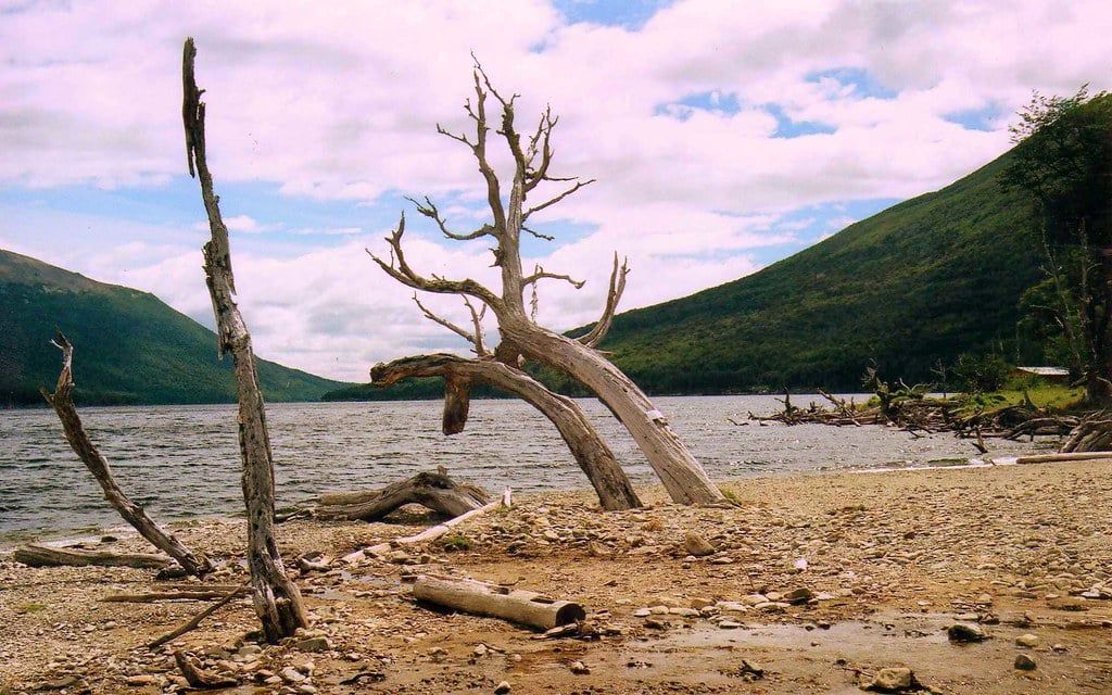
Direction of travel is the single biggest decision on this island. Prevailing northwest winds regularly exceed 100 km/h, and tourers riding southbound report flying across the steppe while northbound riders grind down to walking pace — or stop entirely. More than one trip journal admits the wind, not the map, chose the route. If you must ride northbound, plan shorter days and start early.
Early means early. Mornings are often calm before about 10 am, so rolling at dawn buys two or three quiet hours; by afternoon, 40–56 km/h winds are ordinary in December, and in Ushuaia that month the nightly temperature hovers around freezing with daytime highs rarely reaching 10°C. Pack for all of it at once — sun, sleet, and a July-grade night — because December storms deliver near-freezing rain, hail, and occasional overnight snow even in midsummer.
Storm delays are strategy, not failure. Experienced tourers build extra days into the schedule and sit out multi-day gales rather than fight them, and after any rain the gravel roads turn to mud that slows progress badly. December and January are the optimum months — long daylight, everything open — with the riding window overall running November to March, when the Paso Bellavista border is open. For clothing that means a full windproof shell system and a sleep setup rated well below freezing, in every month of the season.
Cycling in Tierra del Fuego National Park
The park is a 12 km ride from central Ushuaia west along RN3, up the Río Pipo valley — a warm-up spin most riders can do before breakfast. Roads inside are gravel, the speed limit is 40 km/h, and wildlife (rabbits, guanacos, foxes) crosses constantly. One rule matters above all: bicycles are banned on pedestrian trails and allowed on vehicle roads only, so plan a road-and-boardwalk loop, not a singletrack session. Full transport options and routes to the park are covered separately for companions not riding.
| Category | Rate (ARS) |
|---|---|
| General (foreign and non-resident visitors) | 40,000 |
| Argentine nationals | 18,000 |
| Tierra del Fuego provincial residents | 8,000 |
| Students | 12,000 |
| Free | Pensioners with DNI, disability certificate holders, Malvinas veterans, school groups |
A December 2024 touring couple turned back at the gate over a $40 USD quoted fee; the peso-denominated official rate has since made the maths friendlier. Fees still rise with inflation — guides quoted AR$62,000 in January 2025 and AR$30,000 in March 2026 — so verify on the official site the week you travel, and buy online at ventaweb.apn.gob.ar or at the gate. Current opening hours and entry fees are listed on our park page. The park is open daily year-round: 8:00–21:00 December to February, 8:00–20:00 in March, October and November, 9:00–18:00 April to September.
Cyclists may camp free in designated areas (Isla Entre Ríos is the one on the shuttle circuit), and stoves, heaters, and fires are permitted only there — no camp cooking at a roadside pull-off, and no collecting park wood; use charcoal or commercial firewood. Carry a stove if you're overnighting, and pack out everything. The Alakush Visitor Center, with a restaurant, restrooms, and a gift shop, runs about 10:00–17:30; outside those hours services inside the park are nearly zero, so bring food.
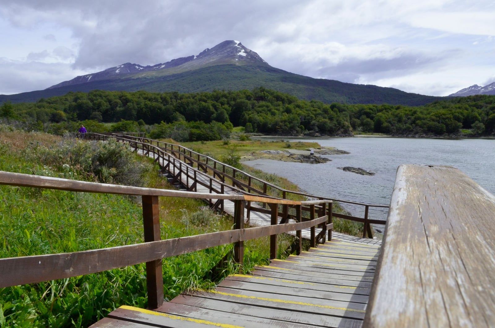
A road loop takes in the highlights in a half-day: Ensenada Zaratiegui with the End of the World Post Office on the water's edge, Lago Acigami (also called Roca) stretching to the Chilean border marker Hito XXIV, and Bahía Lapataia, where the RN3 sign marks 3,063 km to Buenos Aires and boardwalks circle past Yámana shell middens — evidence of more than 10,000 years of habitation. If you'd rather walk the famous coastal trail than ride past its trailheads, our Tierra del Fuego hiking guide has the details.
Rest-Day Add-Ons from Ushuaia
Ushuaia works well as a touring base for a few non-riding days. Between October and late March, penguin tours reach the Magellanic and Gentoo colonies on Martillo Island in the Beagle Channel; boats from the port also circle sea lion colonies and the Les Éclaireurs lighthouse. The End of the World Train, a rebuilt steam line on the old prison railway, departs at 9:30, 12:00 and 15:00 from September to April (AR$70,000 tourist class, park entry separate). Other tours from Ushuaia — kayaking, catamarans, combined park trips — fill the remaining rest days.
Logistics: Borders, Resupply, Water, and Money
Crossing between Chile and Argentina by bike is straightforward at the documents level but brutal on provisions: both countries ban fresh food, meat in any form, and nuts, and the remote posts enforce it strictly. Cyclists simply eat or give away non-importable items at the border — the posts are sleepy, the officers used to touring riders, and the whole ritual takes twenty minutes once your bags are declared empty of salami.
Resupply is the bigger constraint. Food is buyable in Ushuaia, Tolhuin, Río Grande, Cameron, and Porvenir, and the longest gap — Tolhuin to Cameron — runs 300 km. Plan carrying capacity for that stretch, because there's nothing between beyond an estancia that might sell you bread. Water is scarcer still: sources on the central pampa sit up to 60 km apart, some ponds are saline, and the invasive beaver population has made giardia endemic, so filter or boil everything. A filter isn't optional gear here; it's the first thing you pack.
Money: southern Patagonia costs run near US or Northern European levels, with dorm beds from around USD 20 and rooms roughly double, and the Argentine peso moves fast enough that any printed price is a snapshot. Carry cash for rural purchases and check rates shortly before you travel. For repairs, Ushuaia has the shops — cyclists recommend Home Bike — and Ushuaia Extremo will wash and box a bike for about USD 25 including cardboard. Getting out is easy either way: the Ushuaia–Punta Arenas coach takes about 12 hours and carries boxed or wrapped bikes, and both cities have international airports, with flights usually cheaper through Punta Arenas.
There is no phone signal outside the few villages. Download everything — Windy for gust forecasts, Maps.me for navigation, iOverlander for camping reports — before you leave town.
Where to Sleep: Camping, Cyclist Hospitality, and Towns
Wild camping is widely tolerated on this sparsely populated island, and locals are famously generous — farms along the road are known to take in travelers who need a bed. The challenge isn't permission, it's terrain: on the steppe between Porvenir and Tolhuin, roadside fences and a total absence of wind shelter make finding a spot slow, so budget daylight for it. From Tolhuin to Ushuaia camping is generally easy, with forest and lake shores offering protection. The cabañas of the closed hotel at Lago Escondido also make decent improvised shelter on the Garibaldi stretch.
Tolhuin has the island's most famous bed. The owner of Panadería La Unión lets touring cyclists sleep free in the bakery's back room — bunks, drying lines, and staff who've seen a thousand bikes come through. Tell them you're a cyclist looking to sleep and they know the drill. The old bakery burned down in 2021; the current building is new, the arrangement unchanged. In towns, dorms start around USD 20 in Ushuaia, Tolhuin, Río Grande, and Punta Arenas. Inside the National Park, camping is restricted to the designated areas, with the stove rule in force.
Gear and Bike Setup for Patagonian Conditions
Ride a mountain bike, all-road, or gravel bike with wide tires — corrugated gravel is the norm on every backroad, and after rain it's mud. Weight discipline matters more than bike choice: that 4–6 hour hike-a-bike through old-growth forest near Ushuaia on the Fin del Mundo route punishes heavy rigs, and the lighter your setup, the better that day goes.
Luggage matters in crosswinds. Gusts over 100 km/h make a tall pannier stack act like a sail; low-profile, well-secured bags are safer and faster. Your sleep system needs to handle nights near freezing in December — tourers swear by the hot-water-bottle trick: boil water on the stove, pour it into a bottle, sleep with it in the bag, and it's still warm at dawn. Add a full windproof layer set and you've covered the climate.
Beyond that: water filtration plus carry capacity for 60 km dry stretches, a real spares kit (shops are scarce once you leave Ushuaia), and a plan for boxing the bike — scavenged cardboard from travel agencies and shops works, or pay Ushuaia Extremo about USD 25 to wash and pack it. Wrap everything well; the 12-hour bus to Punta Arenas is not gentle with luggage.
Tierra del Fuego Bicycle Touring: FAQ
The questions riders ask most about touring the island, answered with the verified numbers from this guide.
Frequently asked questions
When is the best time of year for bicycle touring in Tierra del Fuego?
The Patagonian summer, roughly November to March, when the Paso Bellavista border crossing is open — the full island routes simply aren't possible outside that window. December and January bring the longest days and are considered optimum. Even then, nights hover near freezing and highs rarely reach 10°C, so pack for cold first.
Which direction should I ride — north to south or south to north?
North to south, almost always. Prevailing northwest winds can gust over 100 km/h, letting southbound riders fly across the steppe while northbound riders drop to walking pace. If you must ride into the wind, start early — mornings are often calm before about 10 am.
Can you cycle to Tierra del Fuego National Park from Ushuaia?
Yes — the entrance is about 12 km west of Ushuaia on RN3 through the Río Pipo valley, and roads inside the park are gravel. Bicycles are allowed on vehicle roads only, not on pedestrian trails, so plan a road loop.
How much does the Tierra del Fuego National Park entrance fee cost?
Official rates from 1 June 2026 are AR$40,000 for general (foreign and non-resident) visitors, AR$18,000 for Argentine nationals, AR$8,000 for Tierra del Fuego residents, and AR$12,000 for students; pensioners with DNI, disability certificate holders, Malvinas veterans, and school groups enter free. Fees change repeatedly with inflation — verify on the official site before you travel.
Where can I resupply food and water on a Tierra del Fuego bike tour?
Food is available in Ushuaia, Tolhuin, Río Grande, Cameron, and Porvenir, with the longest gap (Tolhuin to Cameron) at 300 km — carry capacity for it. Water sources on the steppe sit up to 60 km apart and some are saline; filter or boil everything because giardia from the invasive beaver population is endemic.
Can I carry food across the Chile–Argentina border by bike?
Yes, but the rules are strict: no fresh food, meat in any form, or nuts in either direction. Cyclists routinely eat or hand over non-importable items at the border post itself, which is allowed.
Is wild camping allowed and safe in Tierra del Fuego?
Wild camping is widely tolerated in this sparsely populated region, and locals — including farms along the road — are known for helping travelers. The practical challenges are wind shelter and fences on the steppe. Inside the National Park, camp only in designated areas, where stoves are permitted.
Can I rent a bike in Ushuaia or get mine repaired and packed?
Yes for day rides — rentals and guided mountain bike tours operate in town. For repairs, cyclists recommend Home Bike in Ushuaia, and Ushuaia Extremo washes and box bikes for flights for about USD 25 including cardboard. Long-distance buses, including the ~12-hour Ushuaia–Punta Arenas coach, carry bikes wrapped or boxed.
Sources
- argentina.gob.ar/parquesnacionales/patagonia-austral/parque-nacional-tierra-del-
- argentina.gob.ar/parquesnacionales/patagonia-austral/parque-nacional-tierra-del-
- argentina.gob.ar/parquesnacionales/patagonia-austral/parque-nacional-tierra-del-
- turismoushuaia.com/zonas/parque-nacional?lang=en_US
- trendelfindelmundo.com.ar
- en.wikipedia.org/wiki/Tierra_del_Fuego_National_Park